
Sakti topographic map
Interactive map
Click on the map to display elevation.
About this map
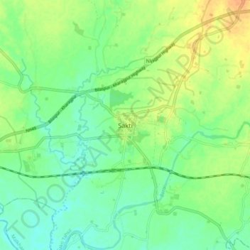
Name: Sakti topographic map, elevation, terrain.
Average elevation: 237 m
Minimum elevation: 223 m
Maximum elevation: 256 m
Other topographic maps
Click on a map to view its topography, its elevation and its terrain.
Ragja
India > Chhattisgarh > Sakti Tahsil
Ragja, Sakti Tahsil, Sakti, Chhattisgarh, 495689, India
Average elevation: 244 m