
Kainakary topographic map
Interactive map
Click on the map to display elevation.
About this map
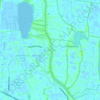
Name: Kainakary topographic map, elevation, terrain.
Location: Kainakary, Kuttanad, Alappuzha District, Kerala, 688501, India (9.45858 76.36685 9.49858 76.40685)
Average elevation: 2 m
Minimum elevation: -7 m
Maximum elevation: 9 m
Other topographic maps
Click on a map to view its topography, its elevation and its terrain.
Champakulam
Champakulam, Kuttanad, Alappuzha District, Kerala, 688505, India
Average elevation: 3 m
Veliyanadu Kidangara Ferry
Veliyanadu Kidangara Ferry, Kuttanad, Alappuzha, Kerala, 689595, India
Average elevation: 2 m