
't Zand topographic map
Interactive map
Click on the map to display elevation.
About this map
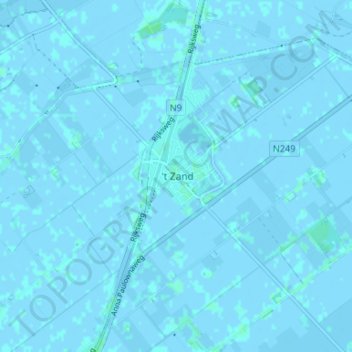
Name: 't Zand topographic map, elevation, terrain.
Location: 't Zand, Schagen, Noord-Holland, Nederland, 1756, Nederland (52.81576 4.73633 52.85576 4.77633)
Average elevation: 0 m
Minimum elevation: -3 m
Maximum elevation: 3 m