
Zijdewind topographic map
Interactive map
Click on the map to display elevation.
About this map
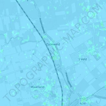
Name: Zijdewind topographic map, elevation, terrain.
Location: Zijdewind, Hollands Kroon, Noord-Holland, Nederland (52.72026 4.81563 52.76025 4.85547)
Average elevation: -1 m
Minimum elevation: -4 m
Maximum elevation: 2 m
Ter hoogte van Zijdewind, in het buitengebied van Waarland, staat de Slootgaardmolen. Deze molen werd rond 1590 gebouwd om als eerste het meertje Slootgaard droog te malen en daarna de ontstaande Slootgaardpolder droog te houden.