
Wehl topographic map
Interactive map
Click on the map to display elevation.
About this map
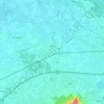
Name: Wehl topographic map, elevation, terrain.
Location: Wehl, Doetinchem, Gelderland, Nederland (51.93664 6.14469 51.98104 6.26230)
Average elevation: 14 m
Minimum elevation: 8 m
Maximum elevation: 79 m
Other topographic maps
Click on a map to view its topography, its elevation and its terrain.
Wijnbergen
Nederland > Gelderland > Doetinchem
Wijnbergen, Doetinchem, Gelderland, Nederland, 7007 CA, Nederland
Average elevation: 15 m
Gaanderen
Nederland > Gelderland > Doetinchem
Gaanderen, Doetinchem, Gelderland, Nederland
Average elevation: 17 m