
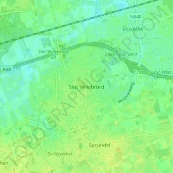
Sint Willebrord topographic map
Interactive map
Click on the map to display elevation.
About this map
Name: Sint Willebrord topographic map, elevation, terrain.
Location: Sint Willebrord, Noord-Brabant, Nederland, 4711, Nederland (51.53070 4.57187 51.57070 4.61187)
Average elevation: 9 m
Minimum elevation: 1 m
Maximum elevation: 15 m