
Veldur topographic map
Interactive map
Click on the map to display elevation.
About this map
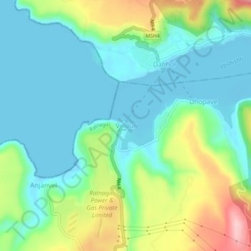
Name: Veldur topographic map, elevation, terrain.
Location: Veldur, Guhagar, Ratnagiri, Maharashtra, India (17.55591 73.15075 17.59591 73.19075)
Average elevation: 50 m
Minimum elevation: -3 m
Maximum elevation: 177 m