
Ankleshwar topographic map
Interactive map
Click on the map to display elevation.
About this map
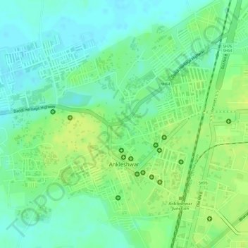
Name: Ankleshwar topographic map, elevation, terrain.
Location: Ankleshwar, Ankleshwar Taluka, Bharuch, Gujarat, India (21.62319 72.98132 21.64423 73.00194)
Average elevation: 17 m
Minimum elevation: 7 m
Maximum elevation: 25 m
Other topographic maps
Click on a map to view its topography, its elevation and its terrain.