
Ahwa topographic map
Interactive map
Click on the map to display elevation.
About this map
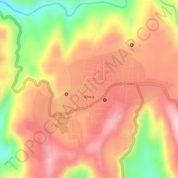
Name: Ahwa topographic map, elevation, terrain.
Location: Ahwa, Ahava Taluka, The Dangs, Gujarat, 394710, India (20.74960 73.67250 20.77017 73.69961)
Average elevation: 439 m
Minimum elevation: 284 m
Maximum elevation: 525 m