
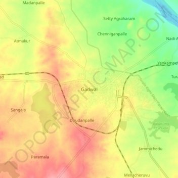
Gadwal topographic map
Interactive map
Click on the map to display elevation.
About this map
Name: Gadwal topographic map, elevation, terrain.
Average elevation: 323 m
Minimum elevation: 274 m
Maximum elevation: 362 m
Gadwal has an average elevation of 325 metres (1,066 ft). Gadwal's infrastructure includes a railway junction, river, government-owned land, a sub-collector office, national highway connectivity and brand image in the country. It is situated on the southern banks of Krishna river