
Chirala topographic map
Interactive map
Click on the map to display elevation.
About this map
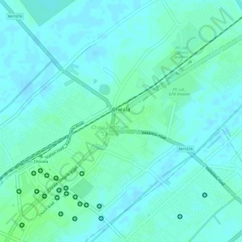
Name: Chirala topographic map, elevation, terrain.
Location: Chirala, Bapatla District, Andhra Pradesh, 523155, India (15.82356 80.35840 15.84604 80.37961)
Average elevation: 6 m
Minimum elevation: 2 m
Maximum elevation: 11 m
The coordinates of the city are 15°49′29″N 80°21′08″E / 15.8246°N 80.3521°E / 15.8246; 80.3521 and is located at an altitude of 3 m (9.8 ft) from the coast of Bay of Bengal.