
Gwalior topographic map
Interactive map
Click on the map to display elevation.
About this map
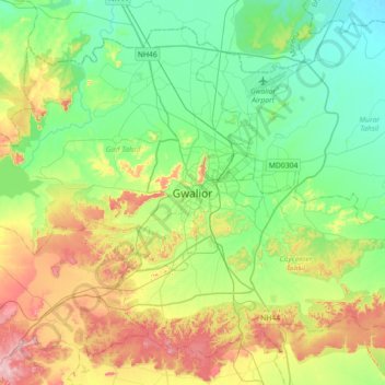
Name: Gwalior topographic map, elevation, terrain.
Location: Gwalior, Gird Tahsil, Gwalior, Madhya Pradesh, 474001, India (26.04372 77.99736 26.36372 78.31736)
Average elevation: 235 m
Minimum elevation: 165 m
Maximum elevation: 382 m