
Latur topographic map
Interactive map
Click on the map to display elevation.
About this map
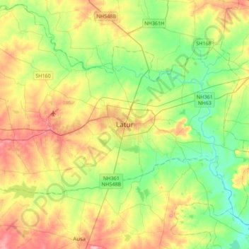
Name: Latur topographic map, elevation, terrain.
Location: Latur, Latur District, Maharashtra, 413512, India (18.23823 76.40259 18.55823 76.72259)
Average elevation: 614 m
Minimum elevation: 571 m
Maximum elevation: 677 m