
Nandurbar topographic map
Interactive map
Click on the map to display elevation.
About this map
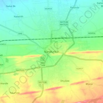
Name: Nandurbar topographic map, elevation, terrain.
Location: Nandurbar, Nandubar, Maharashtra, 425412, India (21.32378 74.20114 21.40378 74.28114)
Average elevation: 217 m
Minimum elevation: 165 m
Maximum elevation: 315 m