
Tezpur topographic map
Interactive map
Click on the map to display elevation.
About this map
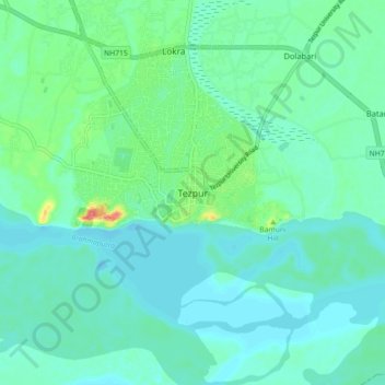
Name: Tezpur topographic map, elevation, terrain.
Location: Tezpur, Darrang, Sonitpur, Assam, 784001, India (26.58299 92.75761 26.66299 92.83761)
Average elevation: 68 m
Minimum elevation: 54 m
Maximum elevation: 121 m