
Budaun topographic map
Interactive map
Click on the map to display elevation.
About this map
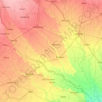
Name: Budaun topographic map, elevation, terrain.
Location: Budaun, Uttar Pradesh, India (27.41667 78.28333 28.81667 79.68333)
Average elevation: 173 m
Minimum elevation: 135 m
Maximum elevation: 214 m