
Amroha topographic map
Interactive map
Click on the map to display elevation.
About this map
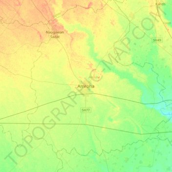
Name: Amroha topographic map, elevation, terrain.
Location: Amroha, Uttar Pradesh, 244221, India (28.74662 78.31073 29.06662 78.63073)
Average elevation: 213 m
Minimum elevation: 197 m
Maximum elevation: 229 m