
Tehatta topographic map
Interactive map
Click on the map to display elevation.
About this map
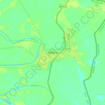
Name: Tehatta topographic map, elevation, terrain.
Location: Tehatta, Tehatta-I, Nadia, West Bengal, 741160, India (23.69390 88.49333 23.77390 88.57333)
Average elevation: 14 m
Minimum elevation: 7 m
Maximum elevation: 21 m