
Tigri topographic map
Interactive map
Click on the map to display elevation.
About this map
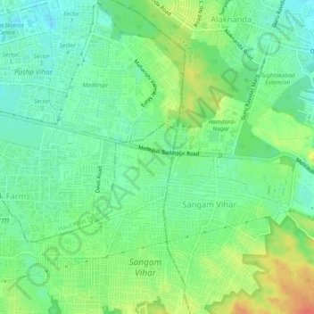
Name: Tigri topographic map, elevation, terrain.
Location: Tigri, South Delhi, Delhi, 110062, India (28.49172 77.22094 28.53172 77.26094)
Average elevation: 238 m
Minimum elevation: 220 m
Maximum elevation: 266 m
Other topographic maps
Click on a map to view its topography, its elevation and its terrain.