
Parule topographic map
Interactive map
Click on the map to display elevation.
About this map
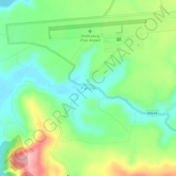
Name: Parule topographic map, elevation, terrain.
Location: Parule, Kudal, Sindhudurg, Maharashtra, India (15.96817 73.50733 16.00817 73.54733)
Average elevation: 58 m
Minimum elevation: -2 m
Maximum elevation: 160 m