
Sachal topographic map
Interactive map
Click on the map to display elevation.
About this map
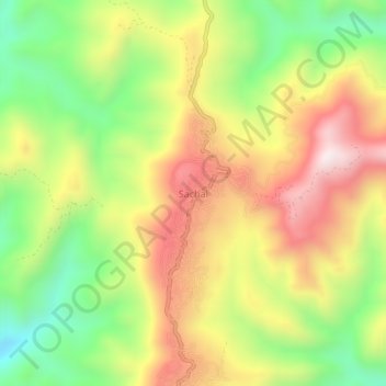
Name: Sachal topographic map, elevation, terrain.
Location: Sachal, Thingsulthliah, Aizwal, Mizoram, India (23.67300 92.94543 23.71300 92.98543)
Average elevation: 929 m
Minimum elevation: 574 m
Maximum elevation: 1,305 m