
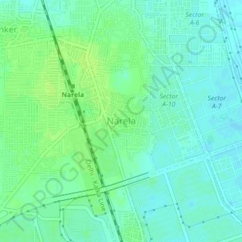
Narela topographic map
Interactive map
Click on the map to display elevation.
About this map
Name: Narela topographic map, elevation, terrain.
Location: Narela, Narela Tehsil, North Delhi, Delhi, 110040, India (28.83261 77.08184 28.85261 77.10184)
Average elevation: 217 m
Minimum elevation: 211 m
Maximum elevation: 222 m
Other topographic maps
Click on a map to view its topography, its elevation and its terrain.
Bawana
India > Delhi > Narela Tehsil
Bawana has an average elevation of 213 metres (698 feet). It is surrounded by the villages of Nangal Thakran, Bajitpur, Daryapur, Majra Dabas, Pooth Khurd, Holabmi Khurd, Kheda Khurd, Holambi Kalan, Sultanpur Dabas and Ghogha. The area of the village under farming was 52000 bigha, but now most of this land has…
Average elevation: 219 m