
Kukrahati topographic map
Interactive map
Click on the map to display elevation.
About this map
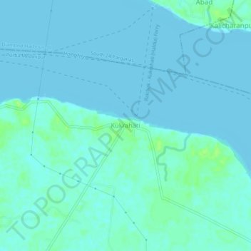
Name: Kukrahati topographic map, elevation, terrain.
Location: Kukrahati, Sutahata, Purba Medinipur, West Bengal, India (22.16702 88.09841 22.20702 88.13841)
Average elevation: 2 m
Minimum elevation: -1 m
Maximum elevation: 11 m