
Kalangal topographic map
Interactive map
Click on the map to display elevation.
About this map
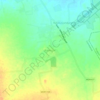
Name: Kalangal topographic map, elevation, terrain.
Location: Kalangal, Sulur, Coimbatore, Tamil Nadu, 641402, India (10.97290 77.11775 11.01290 77.15775)
Average elevation: 388 m
Minimum elevation: 373 m
Maximum elevation: 405 m
Other topographic maps
Click on a map to view its topography, its elevation and its terrain.