
Sector 22 topographic map
Interactive map
Click on the map to display elevation.
About this map
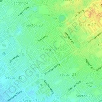
Name: Sector 22 topographic map, elevation, terrain.
Location: Sector 22, Ward 3, Chandigarh, India (30.72635 76.76296 30.73974 76.77972)
Average elevation: 342 m
Minimum elevation: 331 m
Maximum elevation: 358 m
Other topographic maps
Click on a map to view its topography, its elevation and its terrain.
Sector 12
India > Chandigarh > Chandigarh
Sector 12, Ward 2, Chandigarh, 160012, India
Average elevation: 356 m
Sector 19
India > Chandigarh > Chandigarh
Sector 19, Ward 17, Chandigarh, 160019, India
Average elevation: 346 m