
Khavda topographic map
Interactive map
Click on the map to display elevation.
About this map
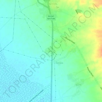
Name: Khavda topographic map, elevation, terrain.
Location: Khavda, Bhuj Taluka, Kutch District, Gujarat, 370510, India (23.80236 69.68992 23.88236 69.76992)
Average elevation: 24 m
Minimum elevation: 2 m
Maximum elevation: 128 m