
Mamidipally topographic map
Interactive map
Click on the map to display elevation.
About this map
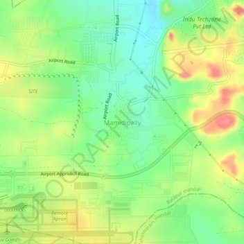
Name: Mamidipally topographic map, elevation, terrain.
Location: Mamidipally, Balapur mandal, Rangareddy, Telangana, India (17.22930 78.43144 17.26930 78.47144)
Average elevation: 606 m
Minimum elevation: 572 m
Maximum elevation: 650 m
Other topographic maps
Click on a map to view its topography, its elevation and its terrain.
Kurmalguda
India > Telangana > Balapur mandal
Kurmalguda, Balapur mandal, Ranga Reddy District, Telangana, 500021, India
Average elevation: 567 m