
Ibrahimpur topographic map
Interactive map
Click on the map to display elevation.
About this map
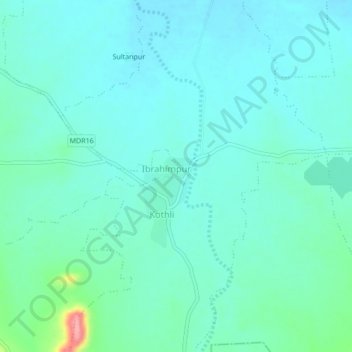
Name: Ibrahimpur topographic map, elevation, terrain.
Location: Ibrahimpur, Buldhana, Maharashtra, India (20.62004 76.24515 20.66004 76.28515)
Average elevation: 356 m
Minimum elevation: 337 m
Maximum elevation: 448 m