
597 topographic map
Interactive map
Click on the map to display elevation.
About this map
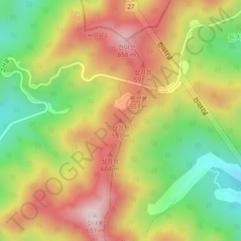
Name: 597 topographic map, elevation, terrain.
Location: 597, Godal-myeon, Gokseong-gun, Jeollanam-do, South Korea (35.29420 127.38361 35.29430 127.38371)
Average elevation: 421 m
Minimum elevation: 180 m
Maximum elevation: 659 m