
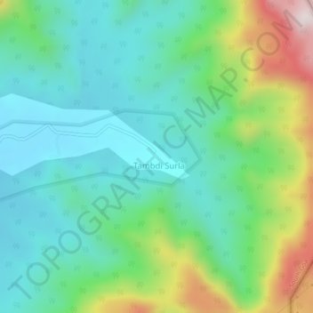
Tambdi Surla topographic map
Interactive map
Click on the map to display elevation.
About this map
Name: Tambdi Surla topographic map, elevation, terrain.
Location: Tambdi Surla, Dharbandora, South Goa, Goa, India (15.42343 74.22540 15.46343 74.26540)
Average elevation: 206 m
Minimum elevation: 78 m
Maximum elevation: 609 m
Other topographic maps
Click on a map to view its topography, its elevation and its terrain.