
Burugupalle topographic map
Interactive map
Click on the map to display elevation.
About this map
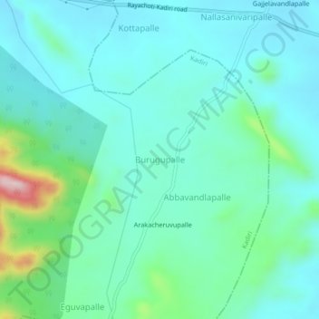
Name: Burugupalle topographic map, elevation, terrain.
Location: Burugupalle, Kadiri, Anantapur, Andhra Pradesh, India (14.06311 78.20687 14.10311 78.24687)
Average elevation: 620 m
Minimum elevation: 552 m
Maximum elevation: 909 m