
Dacharam topographic map
Interactive map
Click on the map to display elevation.
About this map
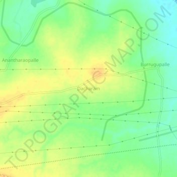
Name: Dacharam topographic map, elevation, terrain.
Location: Dacharam, Gajwel mandal, Siddipet, Telangana, 502301, India (17.86245 78.70236 17.90245 78.74236)
Average elevation: 537 m
Minimum elevation: 521 m
Maximum elevation: 551 m
Other topographic maps
Click on a map to view its topography, its elevation and its terrain.