
Wagholi topographic map
Interactive map
Click on the map to display elevation.
About this map
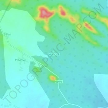
Name: Wagholi topographic map, elevation, terrain.
Location: Wagholi, Ramtek, Nagpur, Maharashtra, India (21.55189 79.28683 21.59189 79.32683)
Average elevation: 419 m
Minimum elevation: 394 m
Maximum elevation: 524 m