
Tarana topographic map
Interactive map
Click on the map to display elevation.
About this map
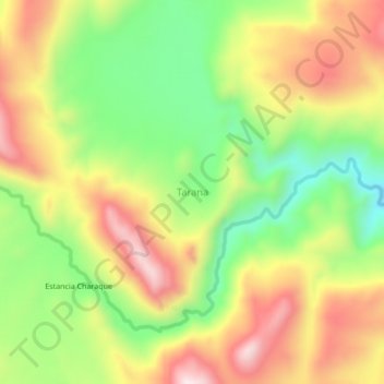
Name: Tarana topographic map, elevation, terrain.
Location: Tarana, Provincia Antonio Quijarro, Potosí, Bolivia (-19.98948 -66.32682 -19.94948 -66.28682)
Average elevation: 4,020 m
Minimum elevation: 3,784 m
Maximum elevation: 4,270 m