
Valapattanam topographic map
Interactive map
Click on the map to display elevation.
About this map
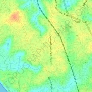
Name: Valapattanam topographic map, elevation, terrain.
Location: Valapattanam, Kannur, Kannur district, Kerala, India (11.89171 75.33238 11.92256 75.36120)
Average elevation: 20 m
Minimum elevation: -1 m
Maximum elevation: 40 m