
Elanji topographic map
Interactive map
Click on the map to display elevation.
About this map
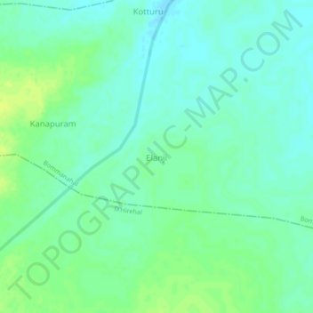
Name: Elanji topographic map, elevation, terrain.
Location: Elanji, Bommanahal, Anantapur, Andhra Pradesh, India (14.86093 76.89274 14.90093 76.93274)
Average elevation: 466 m
Minimum elevation: 459 m
Maximum elevation: 474 m