
Manjapra topographic map
Interactive map
Click on the map to display elevation.
About this map
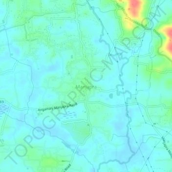
Name: Manjapra topographic map, elevation, terrain.
Location: Manjapra, Aluva, Ernakulam, Kerala, 683581, India (10.18813 76.43269 10.22813 76.47269)
Average elevation: 16 m
Minimum elevation: 5 m
Maximum elevation: 66 m
Other topographic maps
Click on a map to view its topography, its elevation and its terrain.