
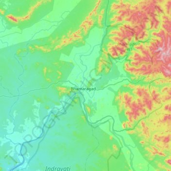
Bhamragad topographic map
Interactive map
Click on the map to display elevation.
About this map
Name: Bhamragad topographic map, elevation, terrain.
Location: Bhamragad, Gadchiroli, Maharashtra, India (19.23299 80.33302 19.61650 80.89778)
Average elevation: 315 m
Minimum elevation: 162 m
Maximum elevation: 919 m
Other topographic maps
Click on a map to view its topography, its elevation and its terrain.