
Ubung topographic map
Interactive map
Click on the map to display elevation.
About this map
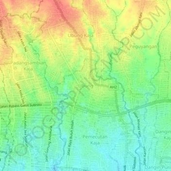
Name: Ubung topographic map, elevation, terrain.
Location: Ubung, Denpasar Utara, Denpasar, Bali, 80116, Indonesia (-8.65222 115.17960 -8.61222 115.21960)
Average elevation: 49 m
Minimum elevation: 23 m
Maximum elevation: 80 m