
Stubenberg topographic map
Interactive map
Click on the map to display elevation.
About this map
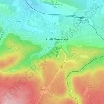
Name: Stubenberg topographic map, elevation, terrain.
Average elevation: 283 m
Minimum elevation: 185 m
Maximum elevation: 425 m
Other topographic maps
Click on a map to view its topography, its elevation and its terrain.
Ochsenkopf
Deutschland > Sachsen-Anhalt > Quedlinburg
Ochsenkopf, Quedlinburg, Landkreis Harz, Sachsen-Anhalt, 06484, Deutschland
Average elevation: 140 m