
Gaja topographic map
Interactive map
Click on the map to display elevation.
About this map
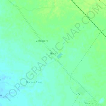
Name: Gaja topographic map, elevation, terrain.
Location: Gaja, Patan Taluka, Patan, Gujarat, India (23.77997 72.12514 23.81997 72.16514)
Average elevation: 80 m
Minimum elevation: 74 m
Maximum elevation: 86 m