
Devrukh topographic map
Interactive map
Click on the map to display elevation.
About this map
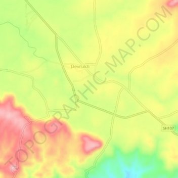
Name: Devrukh topographic map, elevation, terrain.
Location: Devrukh, Sangameshwar, Ratnagiri, Maharashtra, 415804, India (17.03870 73.60300 17.07870 73.64300)
Average elevation: 173 m
Minimum elevation: 78 m
Maximum elevation: 247 m