
Garra topographic map
Interactive map
Click on the map to display elevation.
About this map
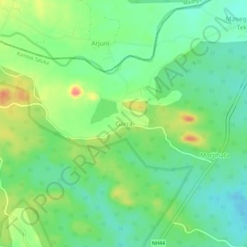
Name: Garra topographic map, elevation, terrain.
Location: Garra, Ramtek, Nagpur, Maharashtra, India (21.64522 79.37508 21.68522 79.41508)
Average elevation: 408 m
Minimum elevation: 384 m
Maximum elevation: 450 m