
KPDH Mines topographic map
Interactive map
Click on the map to display elevation.
About this map
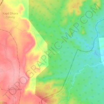
Name: KPDH Mines topographic map, elevation, terrain.
Location: KPDH Mines, Kotma Tehsil, Anuppur, Madhya Pradesh, India (23.22529 82.12896 23.26529 82.16896)
Average elevation: 539 m
Minimum elevation: 485 m
Maximum elevation: 595 m