
Loon op Zand topographic map
Interactive map
Click on the map to display elevation.
About this map
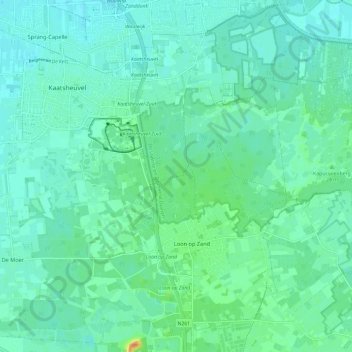
Name: Loon op Zand topographic map, elevation, terrain.
Location: Loon op Zand, North Brabant, Netherlands, The Netherlands (51.60568 4.98726 51.67683 5.10614)
Average elevation: 9 m
Minimum elevation: 0 m
Maximum elevation: 39 m
Dutch Topographic map of the municipality of Loon op Zand, June 2015.