
Morristown topographic map
Interactive map
Click on the map to display elevation.
About this map
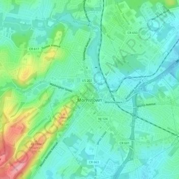
Name: Morristown topographic map, elevation, terrain.
Location: Morristown, Morris County, New Jersey, 07960, United States (40.78023 -74.50149 40.81823 -74.45618)
Average elevation: 118 m
Minimum elevation: 82 m
Maximum elevation: 218 m