
Godagama topographic map
Interactive map
Click on the map to display elevation.
About this map
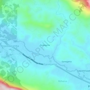
Name: Godagama topographic map, elevation, terrain.
Location: Godagama, Ratnapura District, Sabaragamuwa Province, Sri Lanka (6.62182 80.50050 6.66182 80.54050)
Average elevation: 187 m
Minimum elevation: 106 m
Maximum elevation: 653 m