
Jembulapddu topographic map
Interactive map
Click on the map to display elevation.
About this map
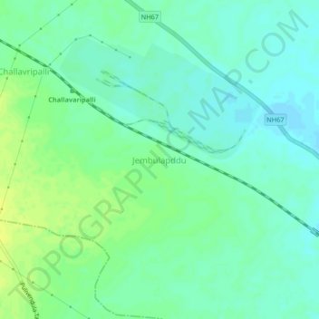
Name: Jembulapddu topographic map, elevation, terrain.
Location: Jembulapddu, Tadpatri, Anantapur, Andhra Pradesh, India (14.84761 78.02534 14.88761 78.06534)
Average elevation: 227 m
Minimum elevation: 220 m
Maximum elevation: 236 m