
Mashobra topographic map
Interactive map
Click on the map to display elevation.
About this map
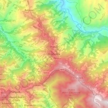
Name: Mashobra topographic map, elevation, terrain.
Average elevation: 1,938 m
Minimum elevation: 1,128 m
Maximum elevation: 2,720 m
Mashobra is located at 31°08′N 77°14′E / 31.13°N 77.23°E / 31.13; 77.23. It has an average elevation of 2,146 metres (7,041 feet).