
Gandai topographic map
Interactive map
Click on the map to display elevation.
About this map
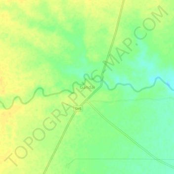
Name: Gandai topographic map, elevation, terrain.
Location: Gandai, Chhuikhadan Tahsil, Rajnandgaon, Chhattisgarh, India (21.64883 81.08061 21.68883 81.12061)
Average elevation: 325 m
Minimum elevation: 311 m
Maximum elevation: 333 m